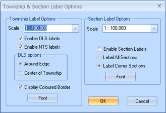
You can configure your map to display township and section labels once you zoom to a certain level. To open the Township & Section Label Options dialog box, select Map | Manage Township Labels from the Main Menu bar.
By default, this option is set to display township labels once you zoom to 400,000. However, you can select a new zoom level from the Scale list, or type a new zoom into the Scale fields.
Next, select the check box for each label type you want to see: DLS and NTS. As well, choose if you want to display the labels along the edges of the map or in the center of each township.
Figure 1: Township labels along edge
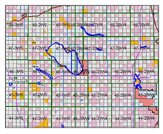
Figure 2: Centered township labels
By default, this option is set to display section labels once you zoom to 100,000. However, you can select a new zoom level from the Scale list, or type a new zoom into the Scale field.
Select the Enable Section Labels check box to display the labels. You can then decide to label all sections or just the four corner sections.
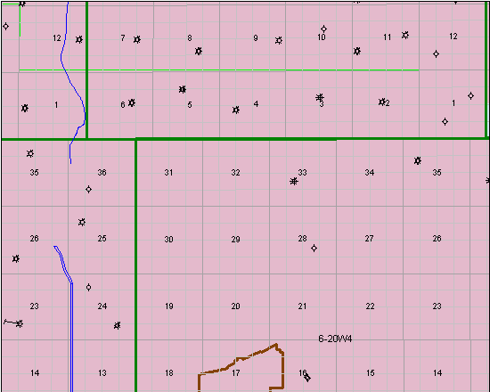
Figure 3: Centered section labels
What do you want to do?