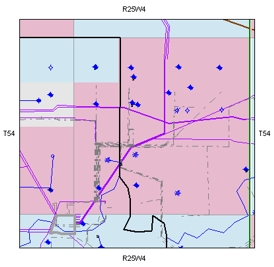
The Map View is the main working area in GeoVista. From here, you can see a graphical display of your data, and you can work with layers and features.
The map is interactive, and you can click on a feature to gain access to its information ticket (such as a well or a pipeline segment). Read more
What do you want to do?