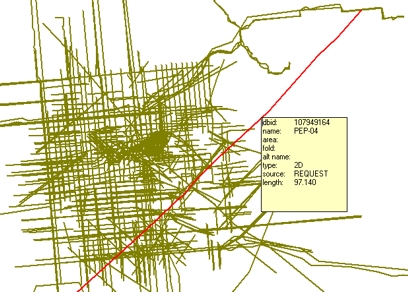
After you import a shape file, you can use the Select Line or Select Region tool from the Map Tools toolbar to select the shape file object.
When you click on an object on a shape file layer, GeoVista highlights the object in a different color and displays the object's information in a box. The following example shows what happens when you select a seismic line on a shape file layer that displays eight fields.
What do you want to do?