Open topic with navigation
Map Preview
The Map Preview
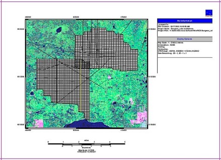
window shows you how your map will output to the printer.  View image

The Map
Preview window can have any of the following items:
- Pink
Lines - These lines show you the edges of the paper size you selected.
Any object that appears outside these pink lines will not appear in your
printout. This is a great way to see if the paper you selected is large
enough or too large for the map you selected to print.
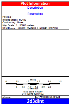
- Plot Label - This box displays information about your map, including
the project name and map scale. You can design and customize your own plot label. You can also move,
resize, or delete this box.
 View image

- Scale
Bar - WinPICS automatically
generates a scalebar according to the size of the selected map area. Below
the Scale
bar, WinPICS displays the map's
current scale as well as its projection and datum. You can move
or delete this bar.

- Objects
- Any other objects might appear, depending on what you select to drawor add to the map.
To customize your plot label and scale bar, use the label designer in the Display Options dialog box.
- The ability to annotate your map can be a very useful tool. For example,
you could draw a line to an area where you want to drill and add a text
label to identify that area. When you print the map, that line and text
help you to quickly identify the area of interest. This is especially
useful for presentations.
What do you want to do?
 View image
 View image
 View image