View image
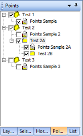
The Points tab of the Object Manager enables you to create groups of control points on your map and work with them.
In ProductName, a point is a position in space with a series of numbers for a label. In 2D space, it has two numbers (x, y) in the sequence. In 3D space, it has three numbers (x, y, z), where z is a measure of a dimension of interest (for example, time, or depth). The number values can be positive or negative. ProductName has no way of knowing what the values mean, so it is up to the user to name the point data.
The points database enables you to add reliable control data to the gridding component of ProductName, in order to address the extrapolation inaccuracies that occur when gridding in areas of the map that have little control. These inaccuracies, arising naturally from mathematical interpolation, are aggravated by the lower quality of seismic data collected in the edges of the area.
Using the Object Manager to organize and prioritize your points gives you more flexibility than you have working with points in the Gridding dialog box. These points are not limited to horizon times or amplitudes, and you can select the appropriate group of points for each data type you want to grid. You can import points, join groups together, and edit them on the map.
Having a check mark for the item not only shows you that data on the map, but it also makes the data active within your project. This means, clearing the check box will "hide" the item from data calculations and comparisons that you do, as well as hide it on your map. View check box options
You can work with items in this tab in the following ways:
What do you want to do?