Open topic with navigation
View the Air Photo Layer
To view the Air
Photo layer, follow these steps:
- On the Layer Manager tab, select the
Air Photo
check box.
- On the Map Tools toolbar, click
 to use the Zoom In/Out
tool and hover your pointer in the Map View.
Your pointer changes to
to use the Zoom In/Out
tool and hover your pointer in the Map View.
Your pointer changes to  .
.
- Click and drag to create a square around the area
you want to view. GeoVista connects
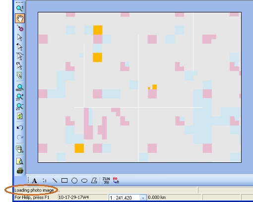
to the Divestco-Valtus server for about 5 seconds to fetch the air photo
for your selected area. During the air photo loading, the message Loading Photo Image displays on your
Status Bar,
and your map temporarily does not display in your Map
View.
- Larger scale limits
take longer to load because GeoVista
must fetch more detailed air photos. By default, the air photo's maximum
scale is 250,000 and the minimum scale is 500. However, you can change
this scale with the Valtus
Photo Properties dialog box.
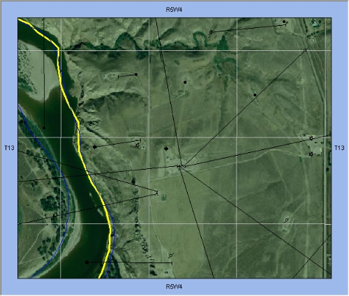
- After the air photo image loads, use the Map
Tools toolbar to navigate and change the view on your map.
Each time you change your view, GeoVista connects to the Divestco-Valtus server to fetch your newly requested
air photo.
What do you want to do?